Logbook 13: Glärnischhütte
Distance: 16.4km | Elevation Gain/Loss: 1,151m | Total Time: 3:45
After a quick “wake me up” cold shower and rosti breakfast, I was out the door and on the road by 6:30am. The original plan was to tackle a double hut route in Goschenen but the Gotthard Tunnel traffic added an extra hour to the drive. So instead, I called an audible and headed towards Glarus, where I still have many huts to tackle. I had to do a bit of on-the-road thinking and decided to head up to Klontal Lake and Glärnischhütte.
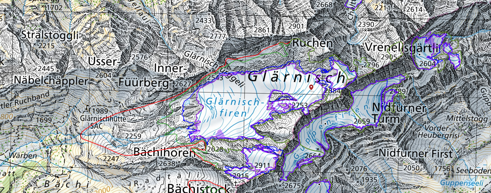
Originally built in 1868 as a small refuge shack, the Glärnischhütte today sits on the western slope of the Glärnisch, a massive mountain block in the center of its eponymous canton of Glarus. The Glärnisch measures over 10km east to west and nearly 7km south to north. The Glärnisch glacier which lays to the east of the hut is on its last legs. When the hut was originally built, the glacier came all the way down next to the hut, as shown in the image below from GLAMOS, the Swiss glacier research group. The red outline shows the glacier’s size back in 1875:
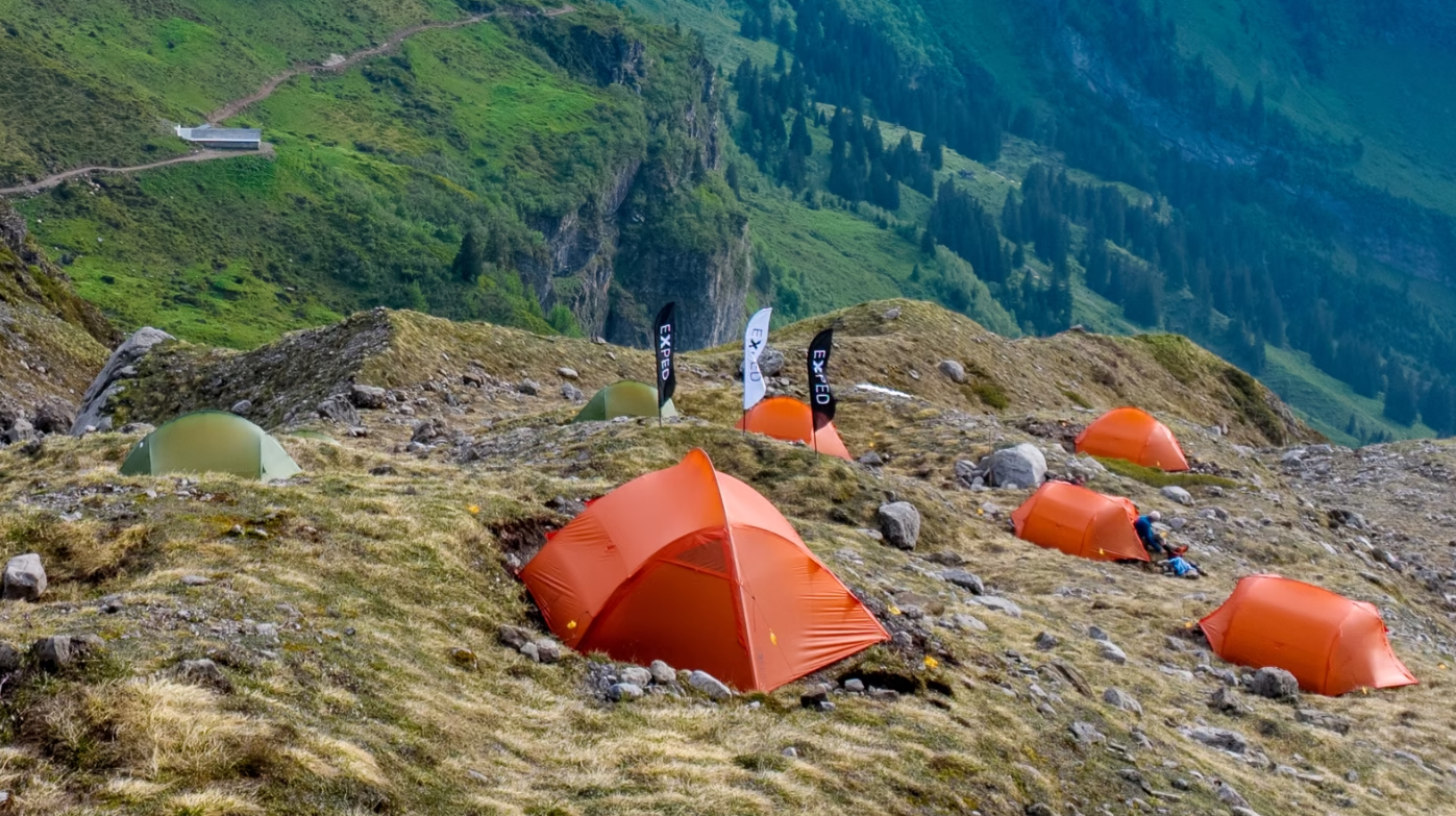
The current structure of the Glärnischhütte was built in 1885 with recent 2023 renovations adding a modern structure and expanding the sleeping capacity to 90 people. Renovation periods usually force wardens to shut down for entire seasons, resulting in lost income for over a year in some cases. The Glärnischhütte decided to try something different in 2023 while the hut underwent work and set up a Himalaya-style basecamp next to the hut in the alpine zone.
My approach started at the Klöntal parking lot, which was already full at 7:45am on Saturday morning; it seemed the crazy heat wave was driving everyone up to the mountains to find cooler air.
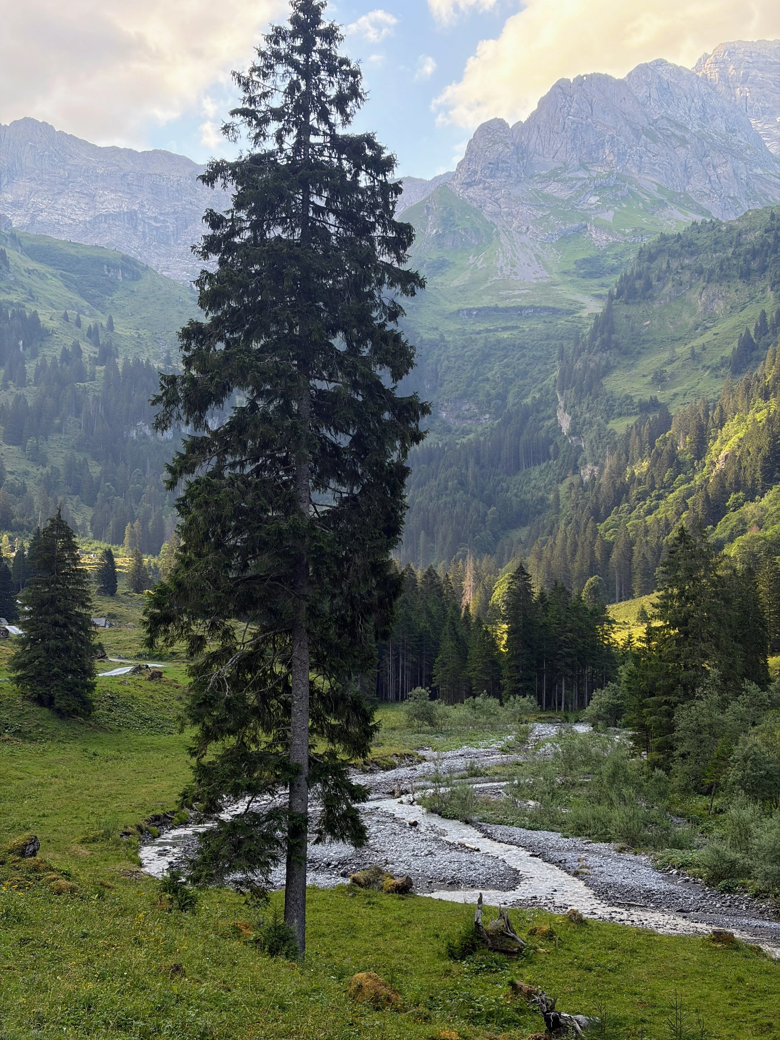
The first kilometers are on the gravel road leading up the Rossmatter valley. The first 2km averages a 21-degree incline. At 1,200m asl the trees begin to thin a bit and a beautiful valley floor presents itself with a meandering river and dramatic views to the south east with the Gassenstock wall rising above everything else.
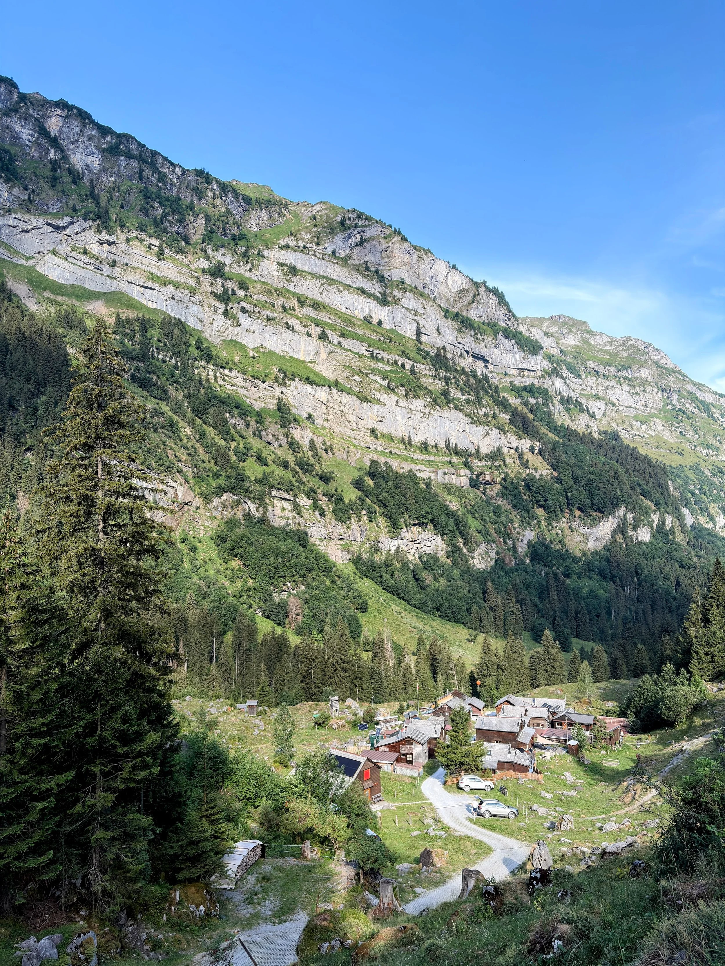
I took a brief break in Käsernalp, a tiny hamlet of a dozen or so houses that I assume are mostly for the alpine farmers and second summer homes for folks living in the surrounding area. There is a small guest house and a kiosk to purchase snacks and drinks. It feels like the Shire from The Lord of the Rings if LOTR were set in the Alps.
I continued up the mountain road which briefly flattened out in the Rossmatt bowl with the Firnbach waterfall cascading down the eastern wall.
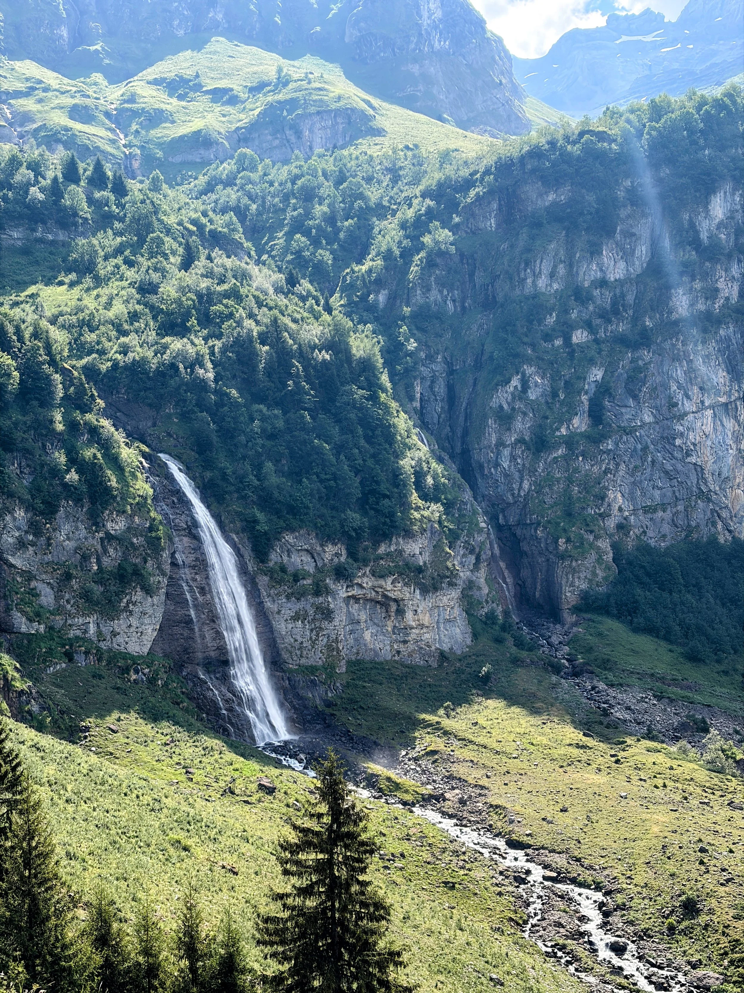
Now the hard work began. I had 2.2km and over 600m to get to the hut, implying a 31 degree average incline for the remainder of the climb. My .gpx route shows roughly 40 switchbacks.
I was very happy that I left as early as I did as the temperature was still not too hot. If I were attempting to do this in the early afternoon heat, I doubt I would have been able to finish. With each step, the views opened up and the clouds evaporated away leading to epic views of the surrounding peaks
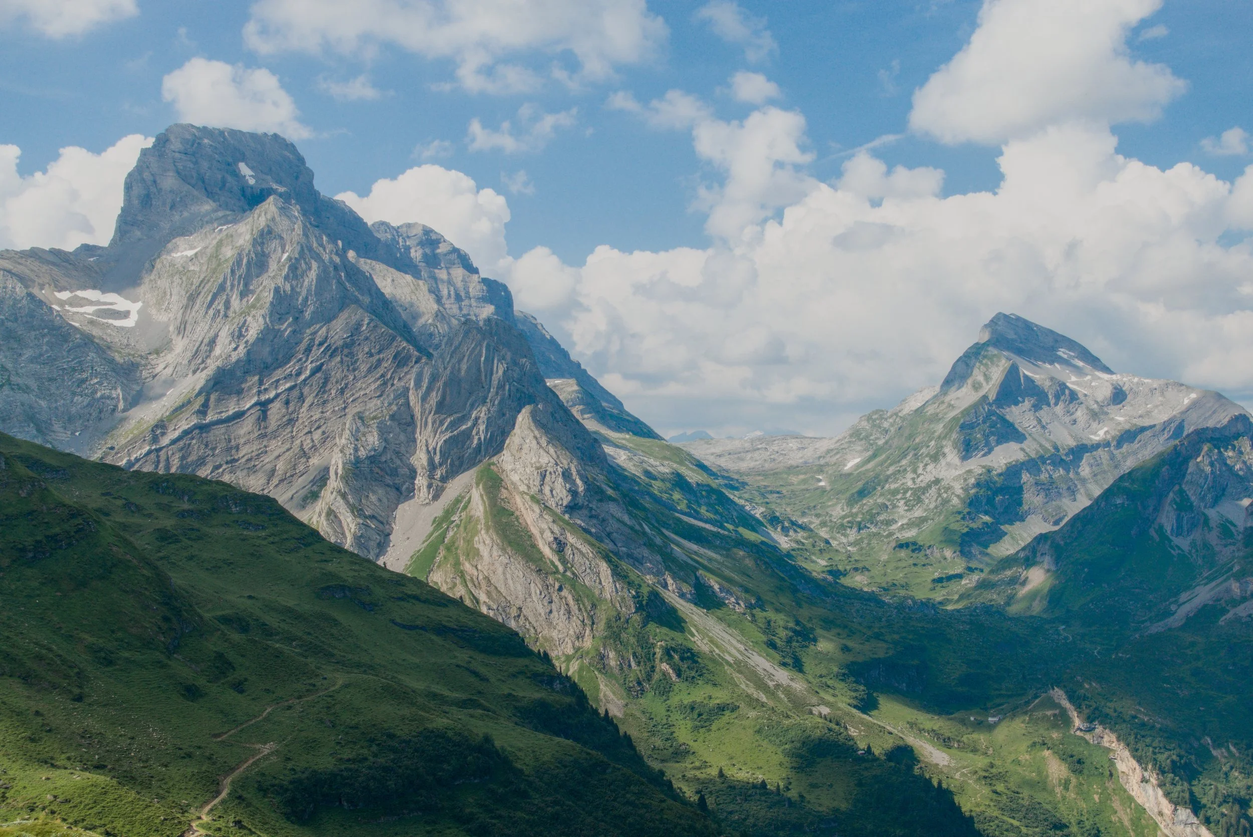
The climb was fairly monotonous with constant switchbacks. There was a short section that required holding onto chains to get up and over a small cliff section. The bugs, mostly horseflies, were overwhelming and if I stood still for even 30 seconds they’d swarm me… good motivation to keep moving.
As I rounded the last cliff section, the hut came into view. It’s position is one of a bird’s nest, precariously placed on top of a rocky outcropping amid a large talus field.
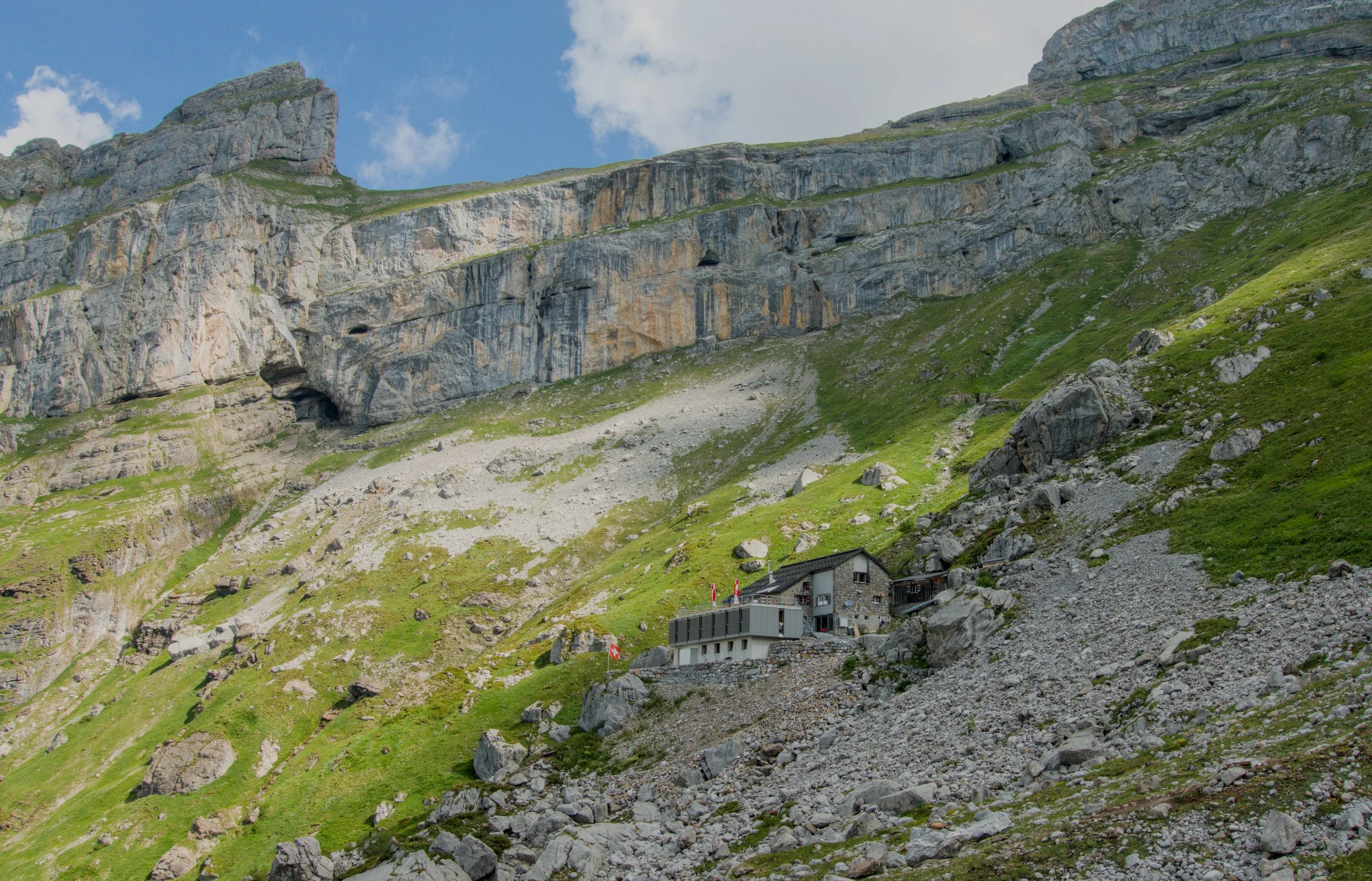
I was the first person to arrive that morning and the hut team was enjoying the morning air on the outdoor porch working on meal prep. A few ladies were pealing oranges and apricots for their cakes and fruit bowls to serve later that day and the air filled with sweet citrus, something your nose doesn’t expect to smell up at 2,000m in the mountains.
I chugged a coke and scarfed down two cakes - one chocolate and one plum - and enjoyed the views. My legs and feet needed some rest after tackling the 7.5km + 1,100m gain climb in exact 2 hours. I purchase a souvenir from the hut shop, a custom hut branded headband for ski touring, and then started the run back down the valley.
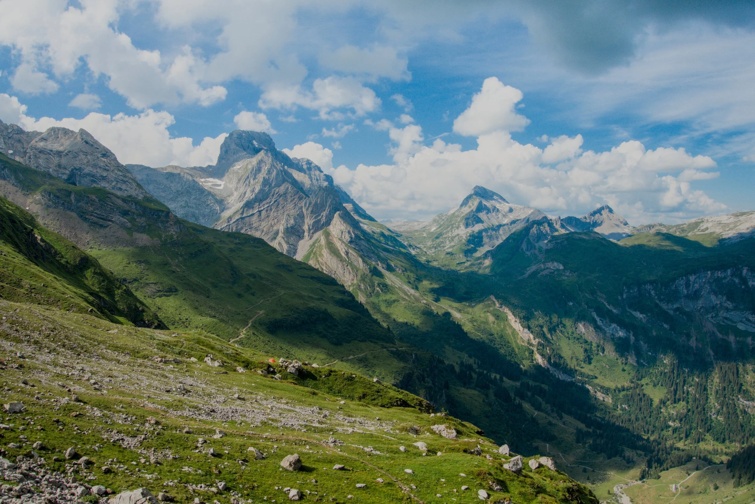
The run back down the mountain was fast. My watch shows an average pace of 7-9min per kilometer and a elevation drop pace of 1,500m per hour. Thankfully, the trail had just a few people coming up at that hour so trail traffic wasn’t too bad.
Once I reached the valley floor, my legs were reaching the end of their stamina and the remainder of the descent was 50/50 running vs. fast walking as my quads began to gave out. Half way down, I had a brief puking session from the extreme heat combined with my overexertion but I will save you the details.
I made it back to the car, had a brief cold soak of my legs in the river, and headed back for Zurich.
